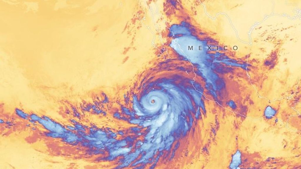
Do you remember all of the talk about Hurricane or Tropical Storm Hilary and California in 2023? It created quite the stir because hurricanes or tropical storms are rare for that part of the country. Initial estimates suggested that the storm made landfall as a hurricane near the Baja California peninsula region of Mexico and weakened to tropical storm that would impact California. Heck, I even wrote a Forbes article noting the first Tropical Storm Watches and Warnings in California history. However, a new report issued by the National Oceanic and Atmospheric Administration has determined that the storm weakened before landfall and was not a tropical storm in California.
It is standard procedure for NOAA to conduct analyses after tropical systems. A new National Hurricane Center report concluded that Hilary made landfall in Baja California, Mexico as a tropical storm and then became a post tropical system in California. The report states, “Satellite imagery, surface observations, and model analyses indicate that the low-level center of Hilary became less defined as it encountered the mountainous terrain of the northern Baja California peninsula.” The storm structure became more disorganized due to increased wind shear associated with a trough of low pressure off of the California coast. The report goes on to say, “As a result, the storm lost tropical characteristics and degenerated to a post tropical cyclone over northern Baja California by 2100 UTC 20 August.”
The report explained, “For each tropical cyclone, the NHC performs a routine post-analysis to analyze all available data (some of which were not available in real time) and determine if changes to a storm’s location, intensity, or status are necessary.” Thought the center of the storm never moved into the United States, wind and rain impacts were felt so the report concludes that, “…. Hilary is still considered to have impacted the United States as a tropical storm.”
Why are hurricanes and tropical storms so rare in this region? The NOAA Climate.gov website point out, “Tropical cyclones need warm ocean waters, of at least 79 degrees Fahrenheit (26 degrees Celsius), to develop and/or maintain their strength…. Sea surface temperatures are typically in the 50s and 60s off the central and southern Pacific Coast.” Additionally, trade winds are typically blowing “away” from the coasts in this region. Finally, the terrain is very arid and mountainous.
For now, Nora (1997) is the last tropical storm to officially visit California. It will not be the last. Even with the redesignation, it is useful to recycle this point that I made in an article leading up to Hilary last year. I wrote, “…. Numerous headlines saying that a Category 4 hurricane is headed towards California. I find that information to be misleading and potentially dangerous. It will likely not even be a hurricane by the time it traverses the Baja Peninsula and reaches the U.S….. My biggest concern for the U.S. is the high-impact potential of Hilary as a Tropical Storm or even an unnamed low pressure system.” Impacts matter more than name or category.
Read the full article here


